The best method of transportation for tourists to see the city is the public bus. It’s very slow but it’s clean, the drivers are professionally trained and they drive very carefully.
Here is the PDF file of the bus map of Manhattan
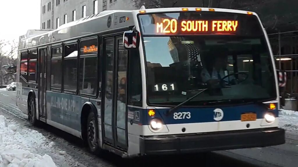
THE M20 BUS
This bus runs from Lincoln Center (The first stop is on Broadway between 62nd St and 63rd St) to Battery Park and back. Lincoln Center is on Broadway and 66th St. The Metropolitan Opera, The NY Philharmonic and the NYC Ballet are part of Lincoln Center. Battery Park is where you take the ferry to the Statue of Liberty and the free Staten Island Ferry.
Going Downtown you can get off at 57th Street and 7th Avenue for Carnegie Hall, at 42nd Street and 7th Avenue for Times Square, at 34th St and 7th Avenue to go to Macy’s, Penn Station and Madison Square Garden or at Christopher St and 7th Avenue to go to the West Village. At the end of the trip the bus passes by the World Trade Center and you will see a beautiful neighborhood call Battery Park City.
Going Uptown
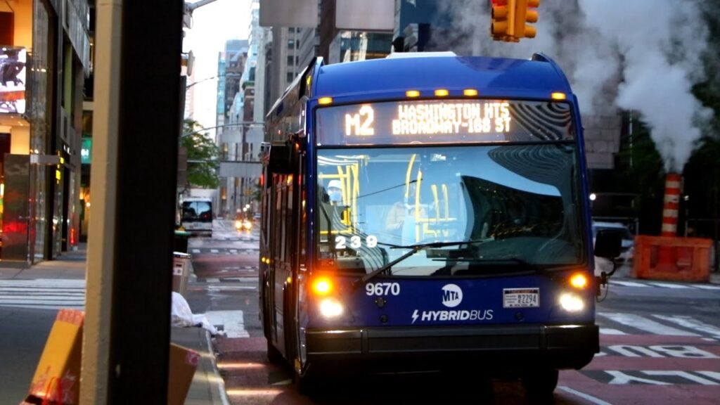
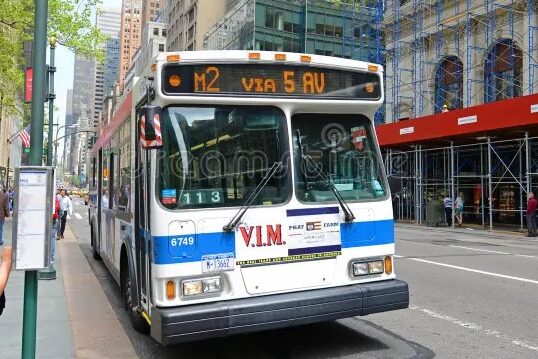
The M2
This bus covers most of Manhattan. It runs from the north of Harlem to Noho (North of Houston St) and back.
From Downtown and Midtown take it to go Harlem to see the Abyssinian Baptist Church on Sunday and their Gospel Choir (138th St & Adam Clayton Powell Blvd). It runs along Madison Avenue and where the upscale and luxury shops are. And Madison Ave is one block from Central Park from 59th St to 110th St.
From Midtown you can take it to go to Madison Square Park on 5th Avenue and 23th and Washington Square Park where New York’s Arch of Triomphe is located. The M2 will drop you off on 5th Avenue and 8th Street just two blocks away north of the Park. If you get off on 5th Avenue and 18th St you can walk two blocks east and you’ll be in Union Square.